


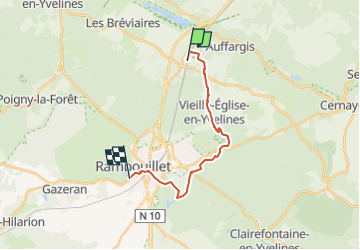

10.2 km | 11.3 km-effort


User


FREE GPS app for hiking
 SityTrail
IGN / Geographical institutes
SityTrail World
The world is yours!
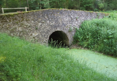
Trail Walking of 14.7 km to be discovered at Ile-de-France, Yvelines, Le Perray-en-Yvelines. This trail is proposed by topophil.
Repérage en Vtt pour préparer parcours à pied Gare du Perray étang d'or Chateau de rambouillet


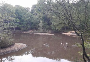
Walking
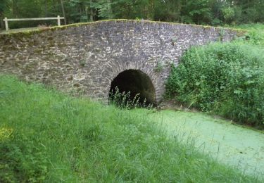
Walking
Mountain bike

Walking

Walking
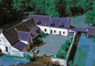
Walking

Walking
Walking

Walking